Walnut Canyon National Monument by Dave Hileman

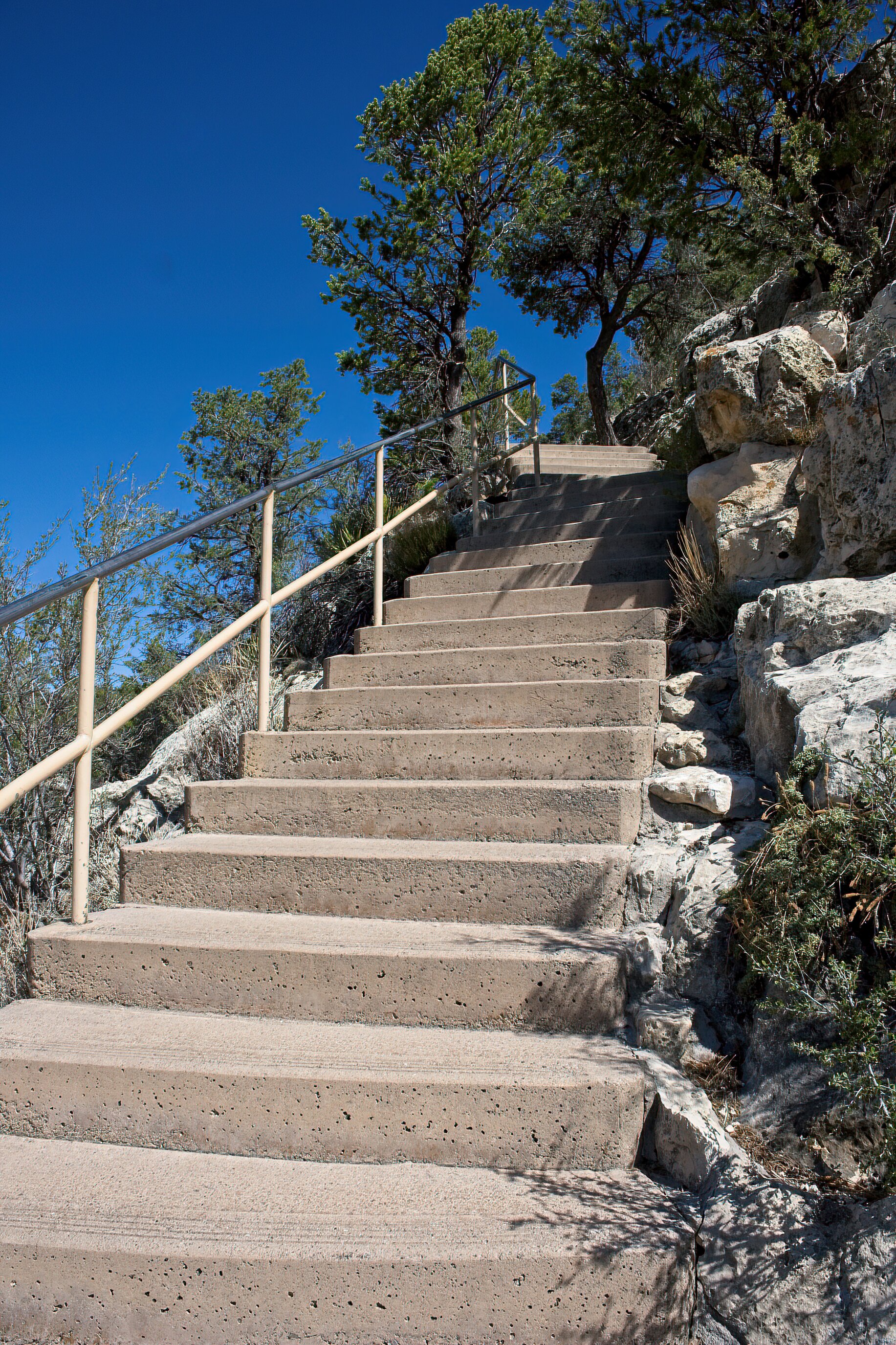
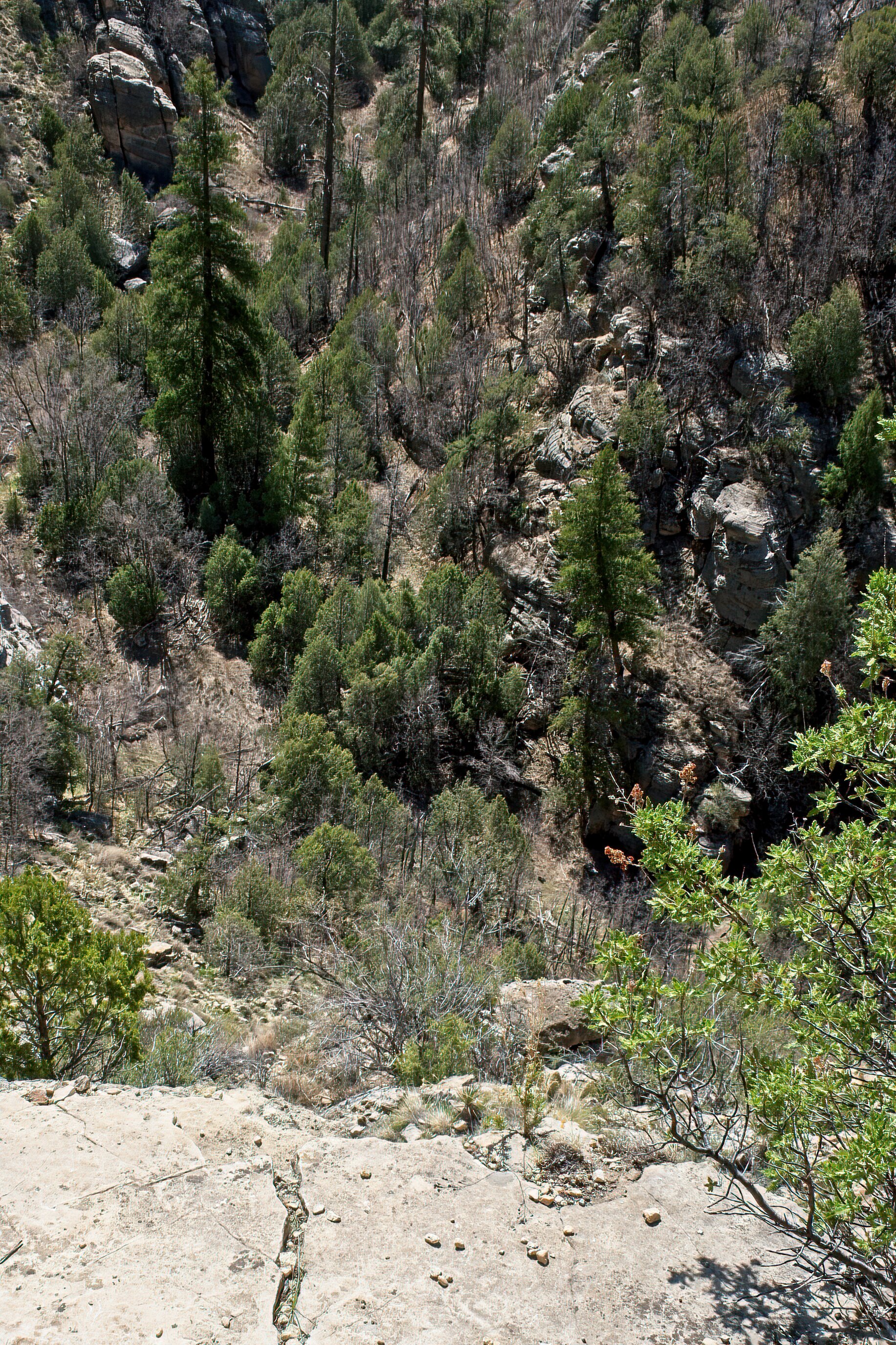
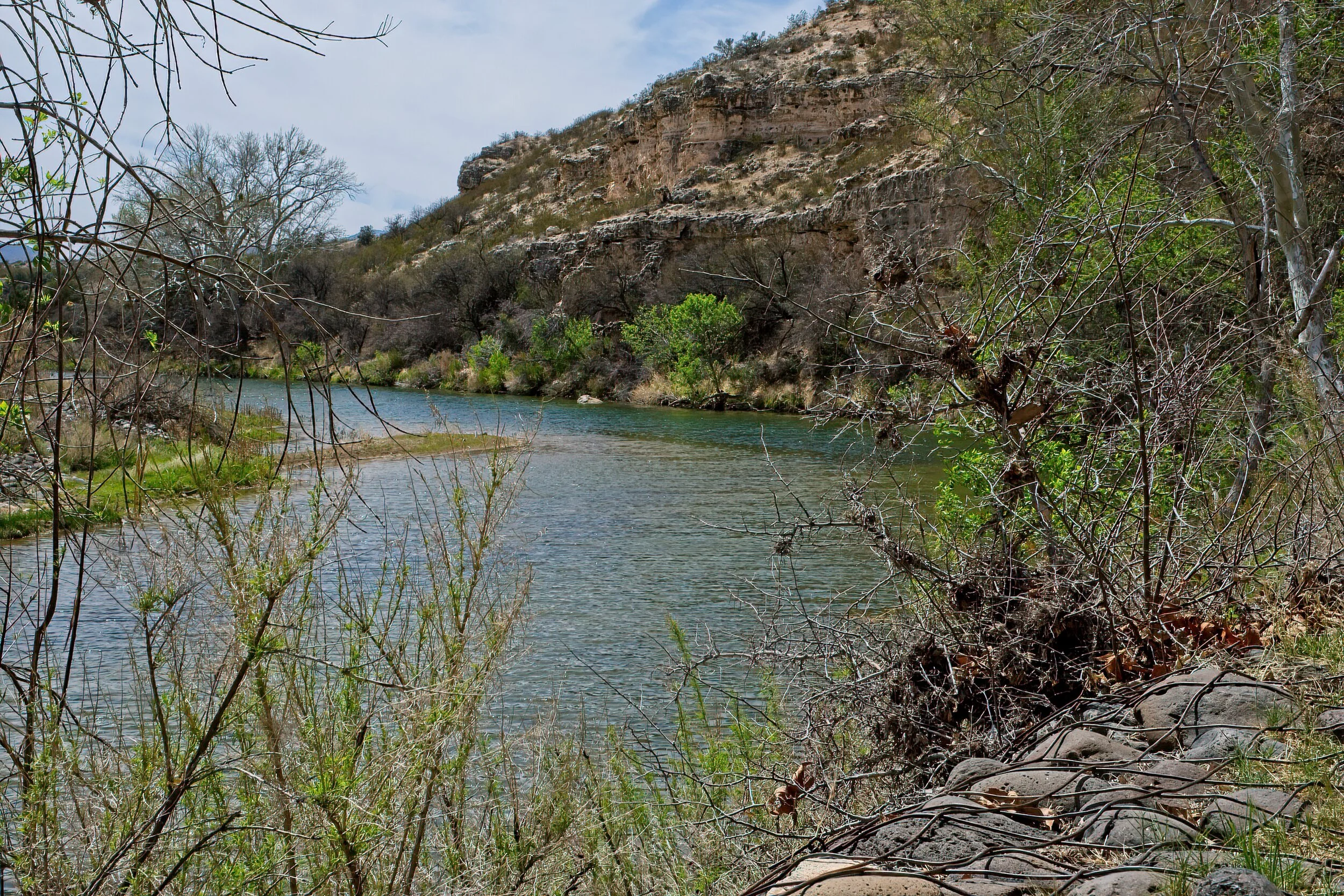
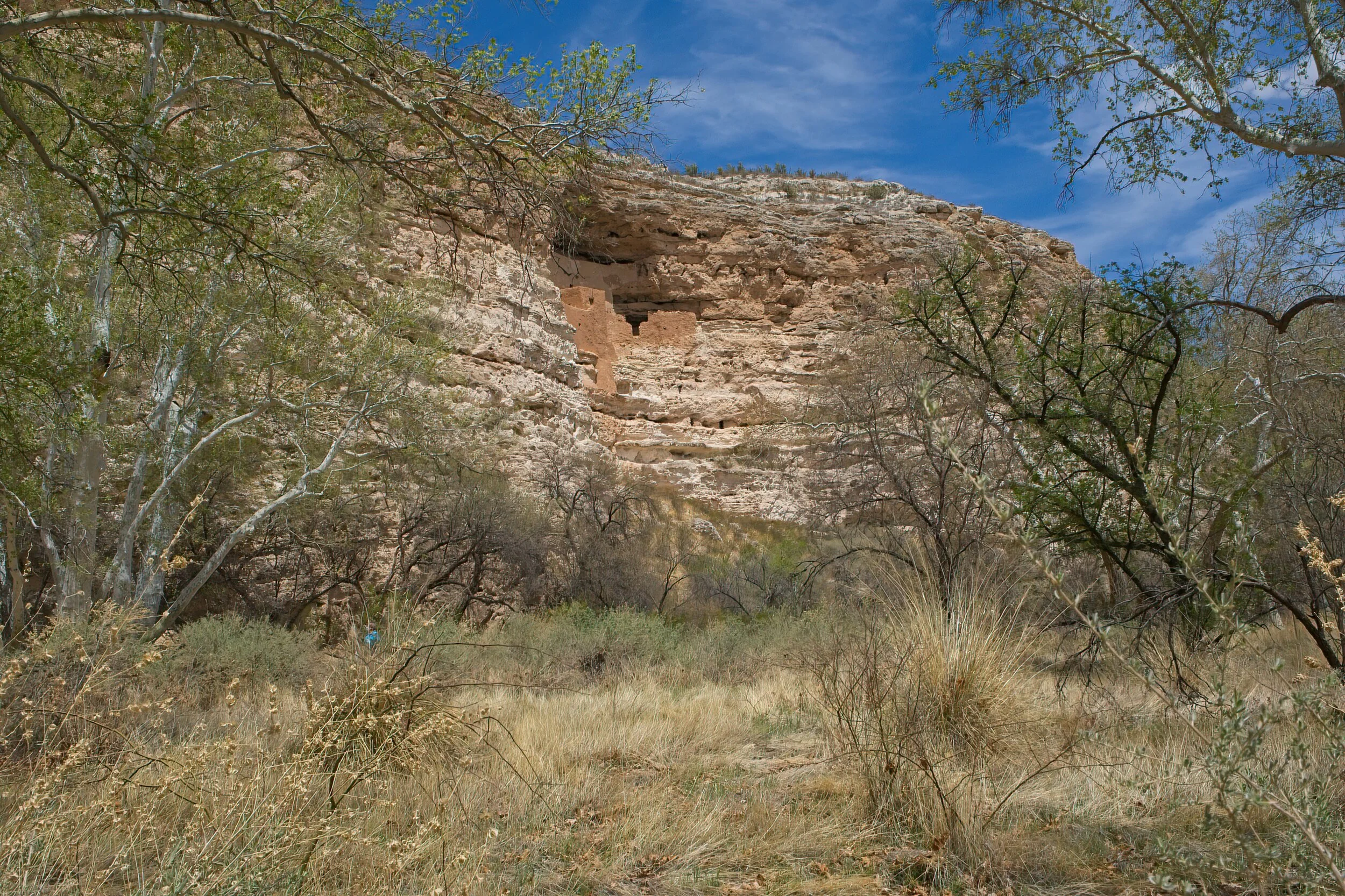
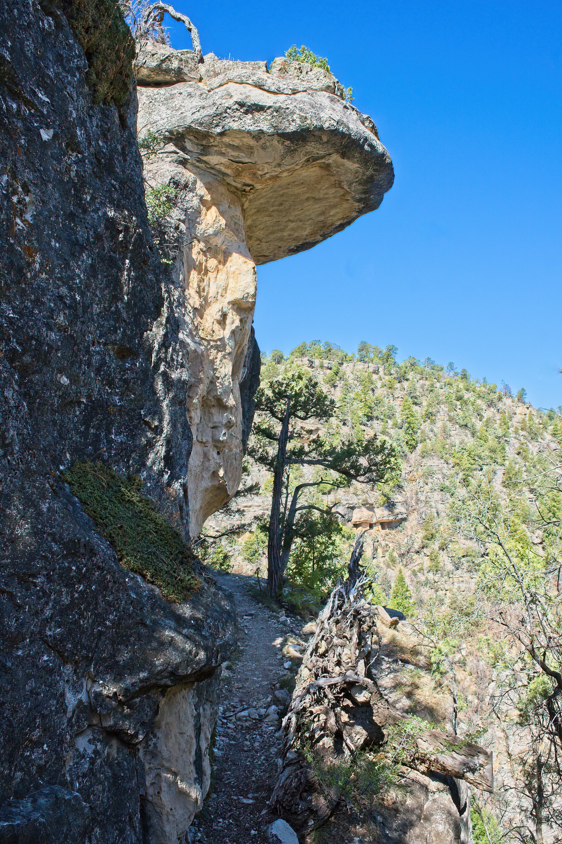
Walnut Canyon was different than other native dwellings we have visited. The route to the dwellings and their position in the canyon were unique. The informative Visitor Center is on the edge of the steep canyon. A cold, windy morning in April, about 30 degrees when we left our lodgings, caused us to reach for our warmer hats and jackets before we launched down the 200 or so steps into the canyon. Steps are steep with several viewpoints for looking into the canyon. At the primary trail, the Island Loop Trail, you cross over a small connection from the main canyon wall to a section of rock that rises from the canyon floor. There is a narrow paved path that circles this rock peninsula. The rock above stretches out over the walls, and in these niches are the remains of the rock-walled dwellings from about 900 years ago with rock paths in between. The larger homes were on the edge of the peninsula but also visible were homes on both sides and across a smaller side canyon. While they seemed close together, it was a 600-800 foot walk down and up for afternoon tea with neighbors.

The area is named Sinagua, from the old Spanish name for the region, “mountains without water.” Water had to be carried up each day, and socializing was done at the Walnut River. They grew squash, corn and beans on ledges around the dwellings. There were walnut trees which were important to the culture. The position of the dwellings was easily defended but they would have been vulnerable if prevented from getting water from the river below.

Walnut Canyon was a short, simple drive from our B&B in Flagstaff.

Cadillac’s Viewpoint: The Driver and the Kind Person started down the stairs while I was looking for the elevator. I don’t do that many stairs. Without one in sight, I spent an hour on the porch with the excellent ranger, and we discussed hats. Cadillac’s Elevation 4 Antlers

Starting on the Island Path

Starting on the Island Path

I bring along a red clad arm to point out things like the dwellings on the other side of the canyon

I bring along a red clad arm to point out things like the dwellings on the other side of the canyon

Walnut CN 5DSCF3127-SAI-softness.jpeg
Yes, it was narrow in places

Yes, it was narrow in places

That white speck, the Visitor Center

That white speck, the Visitor Center

How you get back to the VC

How you get back to the VC

A peak at the river, where you went everyday for water

A peak at the river, where you went everyday for water
Montezuma Castle National Monument by Dave Hileman

This park was a big deal for me. In 1960, my dad thought he had a great job offer in Phoenix, AZ. So we sold our little house and headed for what I thought - who told eleven year olds much back then - was a trip for finding a new place to live. My dad borrowed or bought a 1957 Dodge station wagon - white with a blue interior (still don’t like a blue interior). We left Pittsburgh, stayed a night with his brother in Ohio and with a friend in Illinois, and made our way to Route 66. The trip was supposed to take 6 days but they were building I-40 in New Mexico. We rode on a parallel dirt road for miles in July with no A/C with the windows up to keep out the billowing clouds of dust which made my mother ill. We stayed somewhere in a tiny motel where the owner sat outside with me and described coming west from Ohio in 1892 as a little girl in a covered wagon. I was hooked on the southwest adventure.

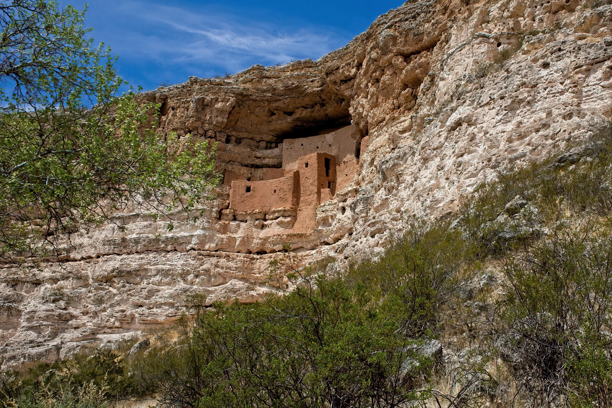
We spent almost a week in Phoenix, and with no explanation to the 11 year old, we were headed back east with no job - no western move for me. And I had purchased a cowboy hat! We detoured to the Grand Canyon and the Red Rocks in Colorado before going straight to Pittsburgh. I saw a sign for Montezuma Castle on the way to the Canyon, and they stopped for me to see it. I read the flyer (still have it!) until it was memorized. I was awestruck. A 1000 years ago, Indians lived here and built this and fished in the river. I must have read 500 westerns after that stop.

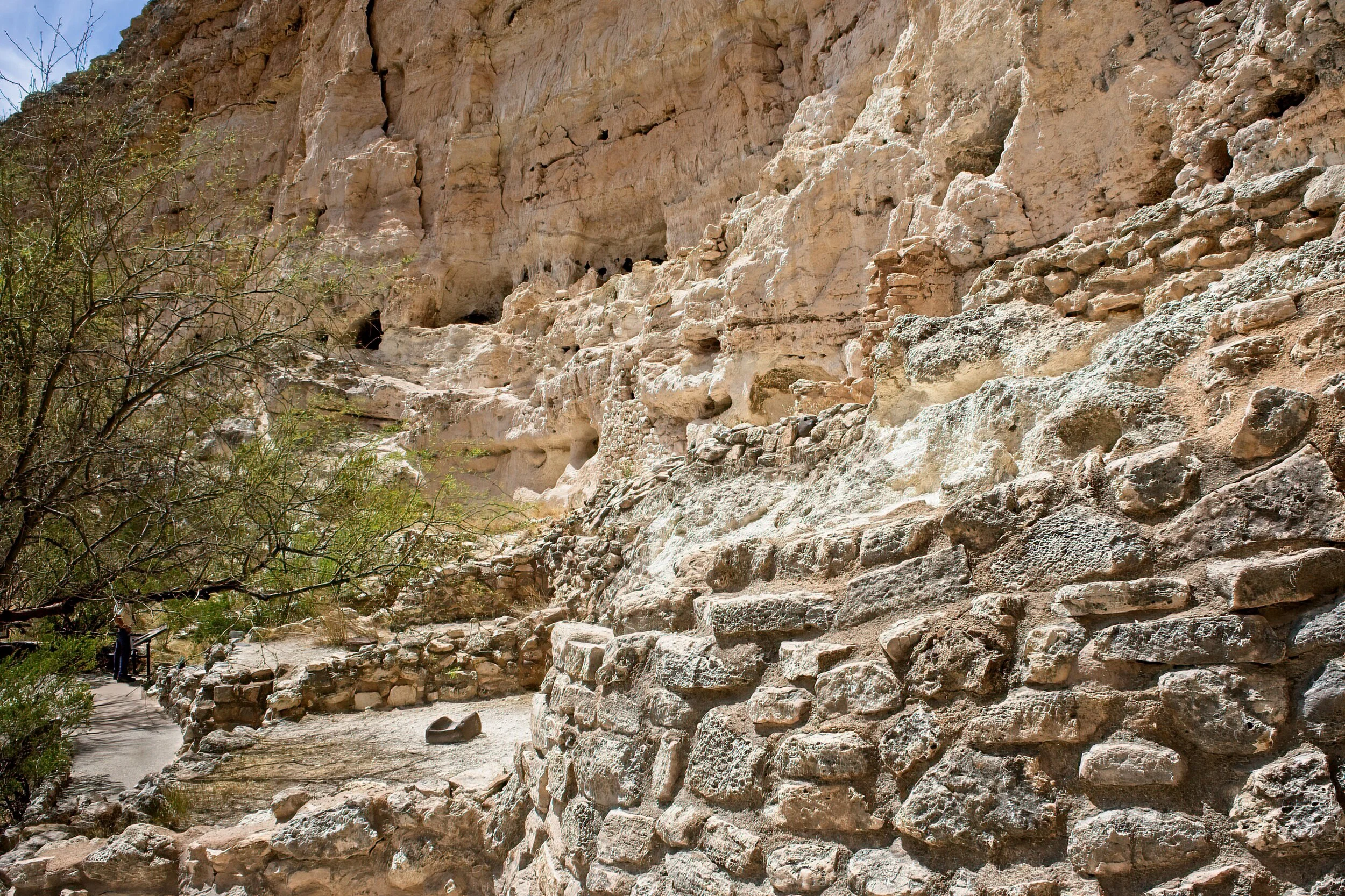
Clearly, I owned no camera in 1960, but now I do. It is still a magnificent place. You could not enter the structure high on a cliff in 1960, and still cannot today, but it seemed closer than my memory of it. Today you walk a nicely maintained, wide path that meanders across the valley floor, often beside a river with some smaller lower ruins. There is a nice VC and museum, lots of parking and benches for observing the castle. A worthwhile endeavor.

We also visited Montezuma Well a few miles away where a spring feeds constant fresh water into a deep pool. Intriguing. We were not camping on this trip and stayed in a AirBandB in Flagstaff.
The second time in this area was as fascinating to me as the first.

Cadillac’s Viewpoint: Occasionally the Driver makes a mistake and we end up actually agreeing. Not often. This was a lovely spot: perfect water, great willows and reeds, nice cool shade. My only issue was that I could not find the entrance to the elevator for the house. Cadillac’s Elevation 4.5 Antlers

M Castel 1aDSCF3161-SAI-softness.jpeg
M Castel 2DSCF3165-SAI-softness.jpg
M Castel 3DSCF3167-SAI-softness.jpeg
M Castel 6DSCF3171-SAI-softness.jpeg

Klondike Gold Rush National Historic Site by Dave Hileman

The Skagway AK unit of the Klondike Gold Rush Park is a collection of buildings and sites interspersed with other buildings: some historic, some residential, and many gift shops with more tchotchkes than would fill up your grandmother’s china closet owned by and only open when the cruise ships were docked. I was prepared to hate it all. Did I? Nope. Well, yes on the gift shops, but Cindy immediately found a must have purse.

The back story was amazing. The Klondike Gold Rush lasted fewer than three years, from August of ’96 to 1899 with a peak of only 18 months. The shortest route to the gold fields - by a long shot - was through Skagway which grew from an outpost to a chaotic city. Dyea, next door, was also booming but today is nearly all fields and forest owned by the NPS with trails worth a visit. Tens of thousands landed but only 30,000 made it to the gold fields hundreds of miles away. A handful became rich, a small percentage paid for the trip, most lost everything. The Canadian government (gold was north of Whitehorse near Dawson in the Yukon) required nearly 2000 pounds of equipment for each person to be granted passage into Canada. Each man carried this on his back up the Chilkoot Pass in 50-60 pound packs. Up the trail, dump the load, back five miles, pick up another and repeat. 20 trips for every five miles. Horses were useless, sleds were too heavy, some dogs could assist but they required food and care. The last 500 miles were covered on boats and rafts that the prospectors hand built. It was grueling, dangerous, cold and largely unsuccessful for all but a fraction of the people who tried the journey.

The park has a good visitor center, several restored buildings, a homestead that predated the gold frenzy, and several outdoor statues and plaques in Skagway and the nearby remnant town of Dyea. You can hike a lot of the original trail, and they do not require you to carry 60 pounds of goods.

We liked the ranger tour of Jeff Smith’s Parlor. A book could be written about that character. Actually there have been several books about him. The Parlor is unique. Once a bar and headquarters of the infamous outlaw Jefferson “Soapy” Smith, it was turned into a weird museum in 1935 where it was a highly promoted part of Skagway’s tourist attractions for 30 years. It is restored to the 1960’s iteration. Wandering about the small town is the best way to discover.

One of the more popular activities is to ride the train up the Chilkoot Pass and into Canada. We opted out of this because it covered essentially the same route we took by the spectacular drive from Whitehorse in Yukon Territory, Canada where we camped for two days. Whitehorse is the largest town on the Alaskan Highway and a welcome stop on our journey.

We did take a flightseeing trip over Glacier Bay National Park from Skagway, and you can read about it HERE. We ate at Skagway Brewing Company - excellent cheese soup - and found the shops with local handcrafts to be pretty interesting.

Cadillac’s Viewpoint: What a great town! Coffee shops and oddly dressed people to watch, cool. Good watery land abounds, neighborhood moose and trains and planes and boats - my antlers are tingling with captain anticipation. Cadillac’s Elevation 5 Antlers

Klondike 1DSCF2619-SAI-softness.jpeg
Klondike 4DSCF2419-SAI-softness.jpeg
Klondike 2DSCF2425-SAI-motion.jpeg
Klondike 9DSCF2377-SAI-softness.jpeg
Klondike 6DSCF2374-SAI-softness.jpeg

Glory by Dave Hileman

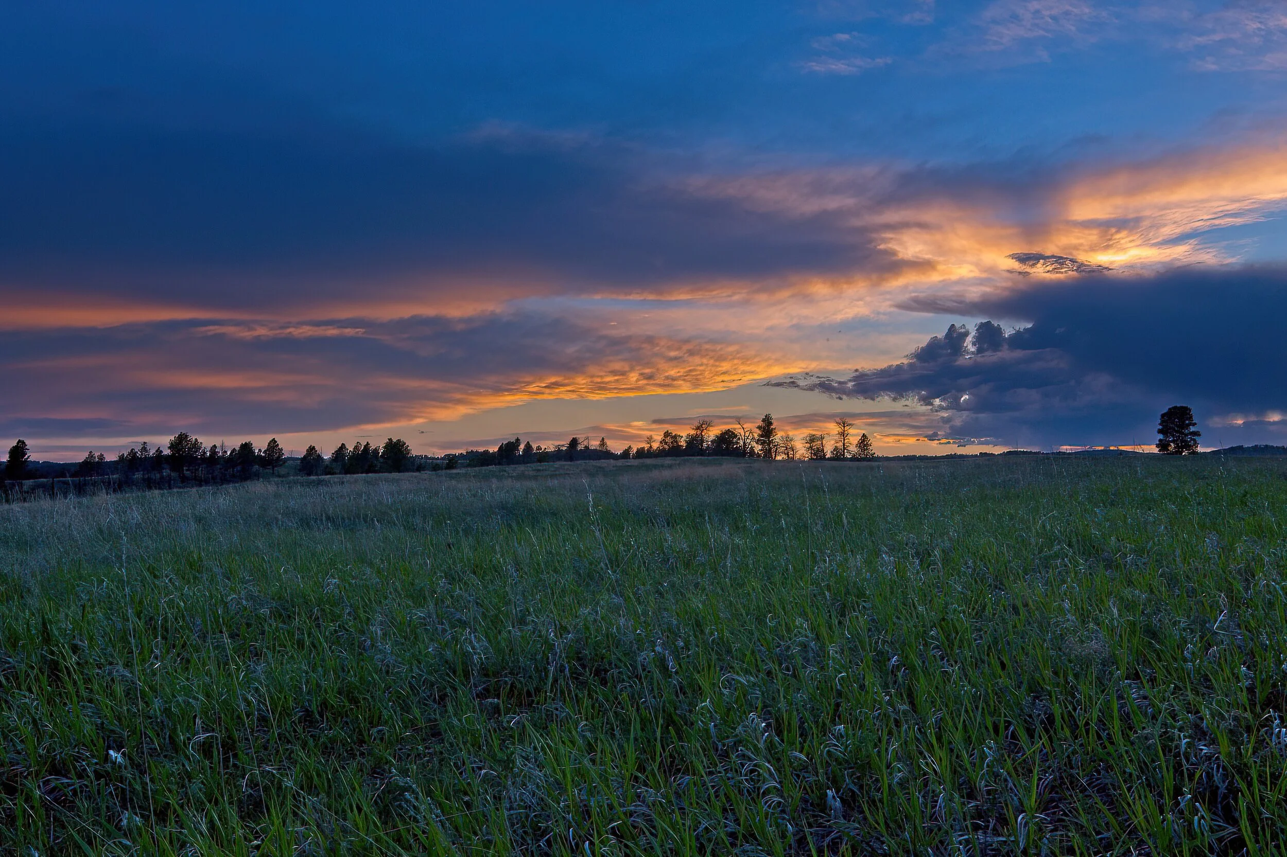
This was taken at Wind Cave National Park in the high prairie that makes up much of the above ground aspect of the park. It was a soft night, quiet sounds, low breeze and just a touch of cool.

“O Lord, our Lord, your majestic name fills the earth!” Psalm 8:9 NLT

Wind cave 6DSCF1102-SAI-softness.jpeg

Acadia Beckens by Dave Hileman

Our older son and family are there now completing what appears to be a very nice week. We expect to be there for about 18 days in mid-September and are looking forward to the tips.

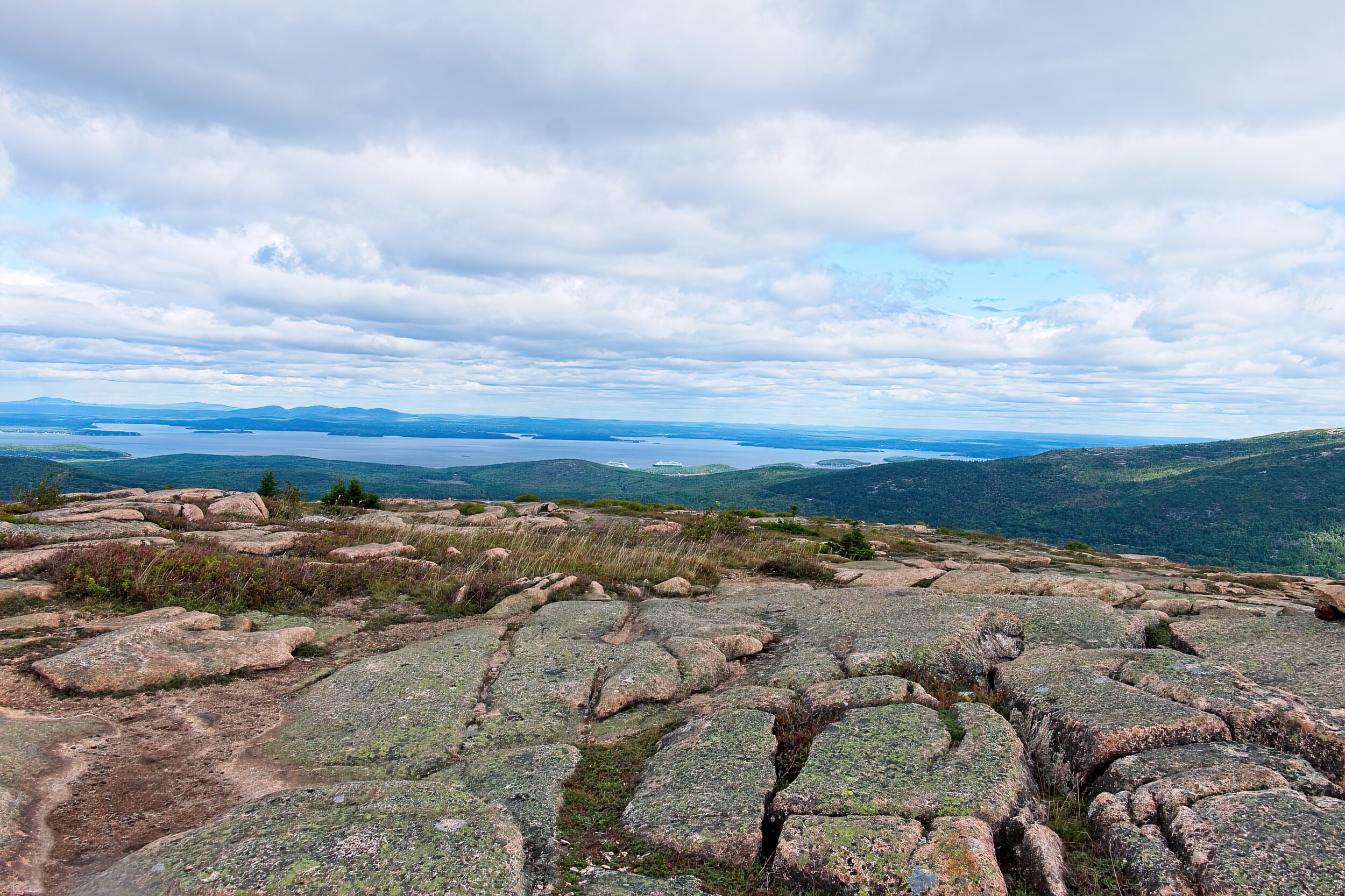
This is from the end of the Precipice Trail looking back toward Bar Harbor on the start of the descent, one of my favorite hikes on MDI. There are two cruise ships visible in the harbor.

acadia 1_DSF0083-SAI-softness.jpeg

Missouri National Recreational River & Niobrara National Scenic River by Dave Hileman

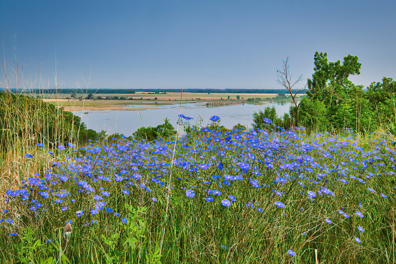
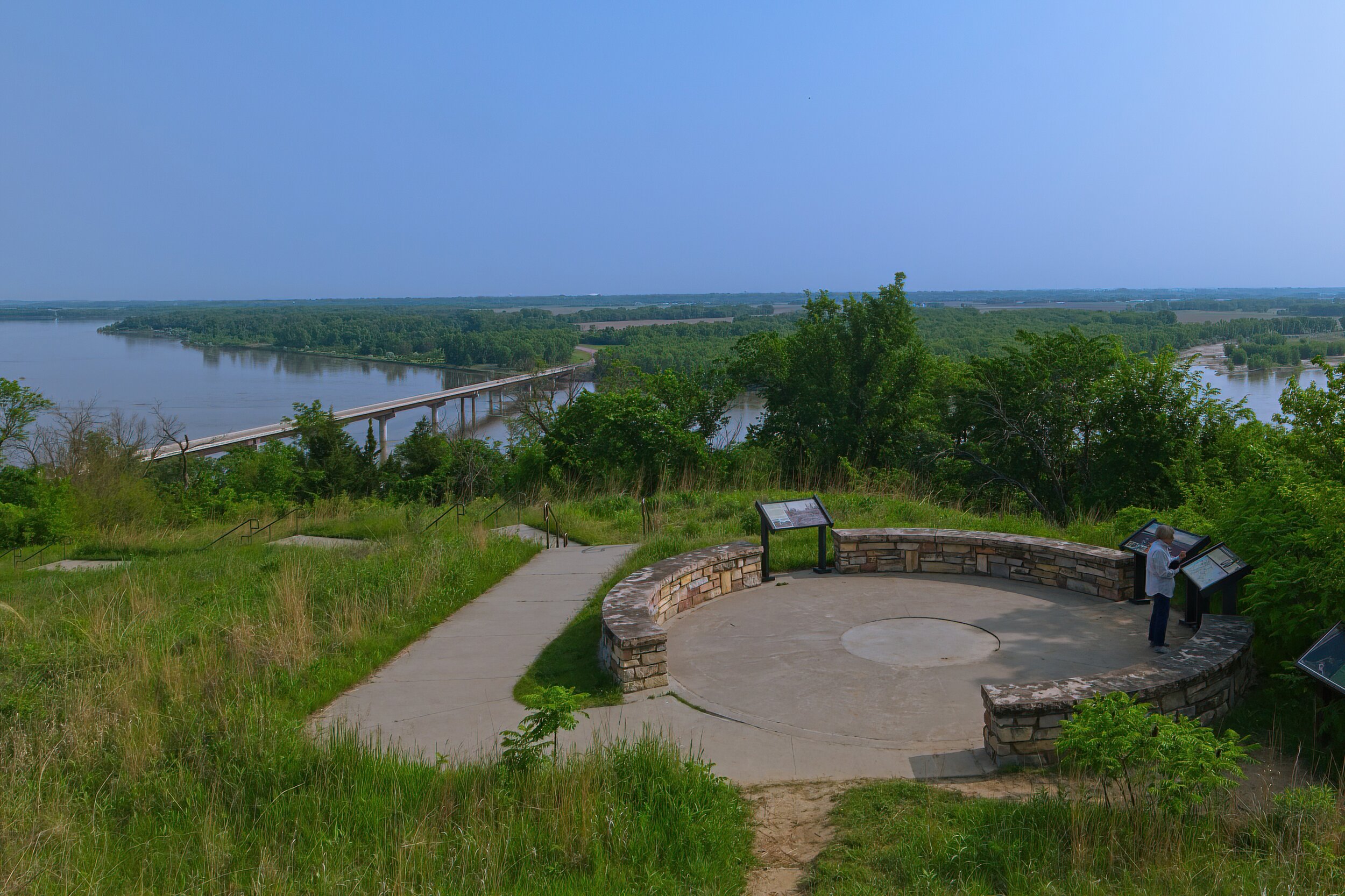
Without a boat, canoe or kayak and time to explore, National Scenic Rivers are among the least satisfying of the park service sites. We are limited to river bank views, and time seems to always be a factor. The Missouri was flooding so two of our planned sites were closed. We did find an elevated extensive view over the Missouri at Military Bend near Vermillion SD. Crossing into Nebraska, we set out to find the Niobrara River and a promised amazing bridge near Valentine. Serious disappointment. It may have been a construction marvel but it seemed ordinary today and very hard to access for a photo.

We nearly ran out of gas on the back roads to this area - another limiting factor. On the plus side, on a walk along a scenic approach to the river, I spotted and photographed my first horned lark. Yay for small victories!

Cadillac’s Viewpoint: All rivers are nice, these were a bit too large for the proper foliage growth for me to graze, but, still, rivers! Cadillac’s Elevation 2 Antlers

Missouri River DSCF0905-SAI-softness.jpeg
Missouri River2DSCF0908-SAI-softness.jpeg
Niobrarra 2DSCF0966-SAI-softness.jpeg
Niobrarra 1DSCF1337-SAI-softness.jpeg
Niobrarra 3DSCF0965-SAI-softness.jpeg

Jewel Cave National Monument & Wind Cave National Park by Dave Hileman

These two separate parks are very close together. It is easy to visit both in a single day, and both are worth seeing. I am not sure why only Wind Cave has National Park status but it might be the extensive above ground area with wildlife and vistas. The caves are toured with a ranger, and they each have distinct characteristics and unique information presented.

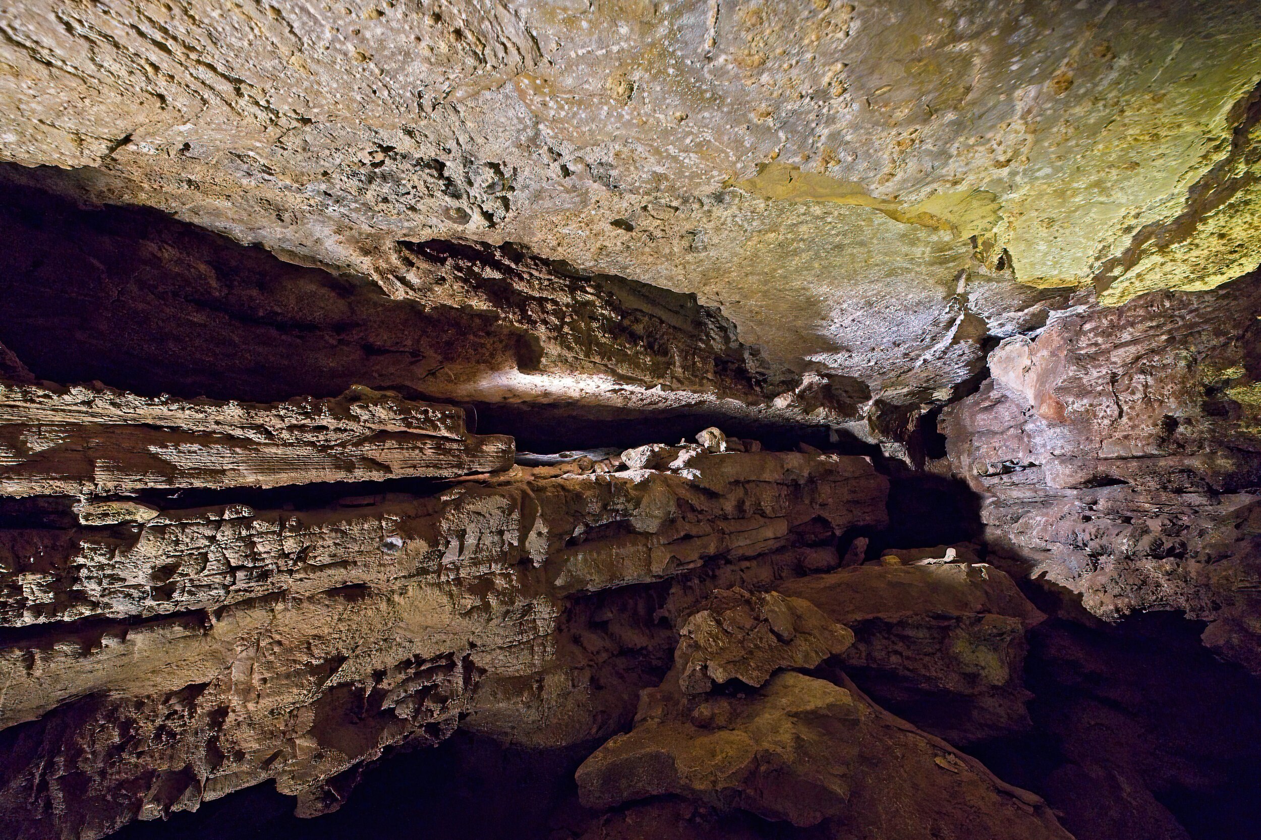
Jewel Cave was named in the early 1900’s because of the calcite crystals that sparkled like jewels in the lantern light. It became protected by the government in 1908, and in 1939 the Park Service began offering tours. Later a VC and elevators were added. Until 1959, only two miles of passages were known. More recent explorations have now revealed over 208 miles; it currently ranks as the third largest cave in the world. You can join four day explorations every year as they continue to map the cave. Our tour was mainly confined to a very large space reached by a 24 story elevator descent. It is a constant 49 degrees in the cave.

Wind Cave is one of the longest and most complex caves in the world, and it has been very important to the native American cultures. Above ground are more than 30 miles of trails, lots of birds and animals, and both prairie and woodland ecosystems. You can walk to the “natural” entrance to the cave where it is easy to feel the cool wind streaming out of the cave. This tour enters through an air lock system, and the descent into the cave is by way of steps - quite a few of them - the lighting is very low so it is occasionally difficult to see your footing. Rare boxwork formations are seen on the ceilings.

Southwestern South Dakota is a beautiful place with much to see. We came back to the grasslands at Wind Cave for a nice sunset.

We had a great dinner at the Black Hills Burger and Bun Co in the town of Custer. We also visited Mount Rushmore between the two cave experiences. We camped at the KOA nearby in retrospect we wish we had stayed at Custer State Park. KOA was ok but pretty expensive.

Cadillac’s Viewpoint: I do NOT do caves like this. I am not a ground hog and simply refuse to act like one. Cadillac’s Elevation 0 Antler

One of the large rooms in Jewel Cave

One of the large rooms in Jewel Cave

Jewel cave 2DSCF1078-SAI-softness.jpeg
Jewel cave 3DSCF1085-SAI-softness.jpeg

Platforms in the Jewel Cave

Grasslands over the Wind Cave National Park

Grasslands over the Wind Cave National Park

The “natural” entrance to Wind Cave

The “natural” entrance to Wind Cave

Wind Cave 2DSCF1013-SAI-softness.jpeg
Wind Cave 4DSCF0991-SAI-softness.jpeg
Wind Cave 3DSCF0997-SAI-softness.jpeg

Mount Rushmore National Monument by Dave Hileman

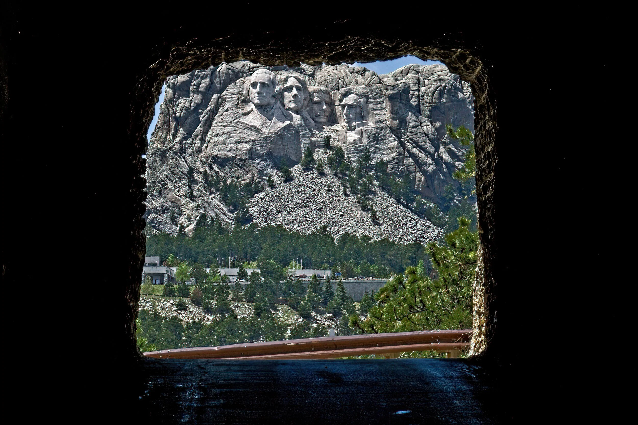
I have now been here three times: once in the early 90’s for about an hour, on our way to Alaska in 2019, and briefly with my grandson in April of 21. I understand the scope of the work, the effort behind the dream, and the desire to honor significant leaders of the United States but it just doesn’t charm me. I am a clear minority in that opinion as the park is built for crowds. On our one longer visit, we walked the Presidential Trail directly under the enormous sculptures, took a tour of the artist’s studio, and enjoyed a ice cream at the Visitor Center/book store/gift shop/restaurant complex. Touring the site was worth the time, and the studio and walkway of state flags are both interesting. I don’t need another stop here but there is so much to see in the area that a fourth time... maybe.

One of the neatest things was to approach Rushmore by way of the Iron Mountain Road. On it you encounter some good views and travel through two or three hand dug tunnels that frame the four faces.

The parking is on a multi-level pay lot which is a bit of a walk from the viewing platforms. They do have a Starbucks and, predictably, there was a line. But even more critically they have decent ice cream and feature Jefferson as the one who popularized ice cream in the US with a clever T-shirt or two.

Cadillac’s Viewpoint: This park is great. Good ice cream, lattes, A/C and comfy seats while the actual park is a short walk and all you have to do is look. Not sure who those guys are but a certain Moose would really brighten up the vista. Course then they’d need another parking garage. Cadillac’s Elevation 4+ Antlers

Rushmore 1DSCF1028-SAI-softness.jpeg
Rushmore 2DSCF1041-SAI-softness.jpeg
Rushmore 3DSCF1044-SAI-softness.jpeg
Rushmore 5DSCF1053-SAI-softness.jpeg
Rushmore 4DSCF1049-SAI-softness.jpeg

Minuteman Missile National Historic Site by Dave Hileman

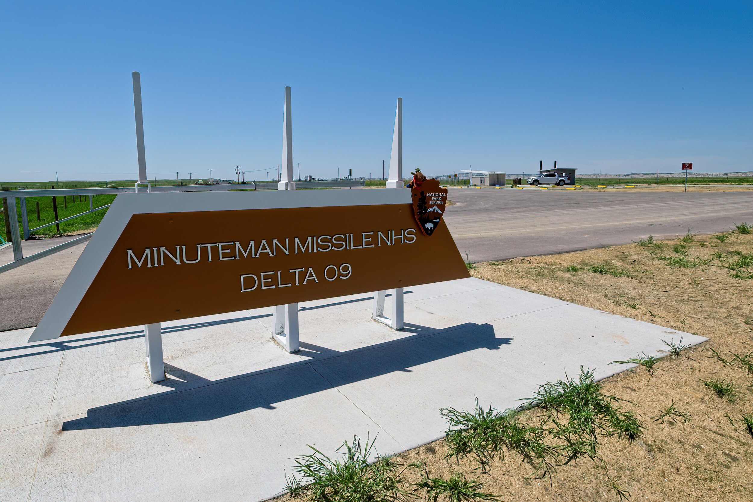
This is a site I was looking forward to seeing. Growing up in the 50’s, these were a big deal in the news in a secretive sort of way with no details but “we have this arsenal ready.” However, access to descending into the “tube” had very restrictive hours with reservations in advance. I missed that detail so we toured only the outside of four of the Minuteman sites in the area and were able to enjoy the Visitor Center.

This is a park we will return to someday with preparations in advance.

There was a missile silo site not too far from where I lived in Western Pennsylvania that closed when I was a teenager. Someone “may” have visited that place after it closed.

Cadillac’s Viewpoint: There was nothing there to see. Who can figure out the Driver? Cadillac’s Elevation 0 Antlers

Minuteman 1DSCF1346-SAI-softness.jpeg
Entrance to one of the sites. Still lots of security just no guns.

Entrance to one of the sites. Still lots of security just no guns.

This is the silo you can tour

This is the silo you can tour

Badlands National Park by Dave Hileman

We really enjoyed this extensive park, at first glance seemingly desolate, but actually full of life and beauty with a great history. Located in southwestern South Dakota, it is very close to other NPS sites and excellent state parks as well.

We hiked on three trails in the park. The Fossil and the Castle trails were the most scenic. We drove several miles on the loop road with a long stop at Robert’s prairie dog town. Super interesting to watch these cute-at-a-distance critters. We also saw bison, mountain goats, and pronghorn. There was a small area near the campground where water was trapped and the birds were abundant.

We camped in the park at Cedar Pass in the National Park. No services but decent older style where the loop road widens to create a campsite. This kind of site is tight for the larger rigs and slideouts of current RV’s but was not an issue for us.

Our stop here included two visits to the infamous Wall Drug for their 5 cent coffee in a real cup with real cream (and donut - additional charge). We visited the nearby NP Minute Man Missile site. See under Minute Man in South Dakota.

Cadillac’s Viewpoint: There were a lot of minor antlered animals and they clearly looked to me for leadership but a bit too dry and remote for me. The donuts were a plus. Cadillac’s Elevation 2.5 Antlers

Rugged and stunning country

Rugged and stunning country

Badlands 1DSCF1113-SAI-softness.jpeg
Is anything more iconic than two vultures on a cliff in the Badlands?

Is anything more iconic than two vultures on a cliff in the Badlands?

Teaching the kids how to hide with her warnings.

Teaching the kids how to hide with her warnings.

Barely visible on the right side near the bottom is a young women counting the Dogs, she was with six other people.

Barely visible on the right side near the bottom is a young women counting the Dogs, she was with six other people.

Big Horn Sheep

Big Horn Sheep

Waiting for the light

Waiting for the light

Waiting for sunset

Waiting for sunset

Handy sign when you come to a cliff and see no more trail.

Handy sign when you come to a cliff and see no more trail.

Wall Ddrug coffee and donut

Wall Ddrug coffee and donut

Alaskans by Dave Hileman

They tend to live in a rhythm of their own making. This shed or perhaps house was in a back alley in Skagway, Alaska. Love the creative bird houses.

“Don’t copy the behavior and customs of this world, but let God transform you into a new person by changing the way you think. Then you will learn to know God’s will for you, which is good and pleasing and perfect.” Romans 12:2 NLT

Skagway 3DSCF2614-SAI-softness.jpeg

Poverty Point National Monument (& World Heritage Site) by Dave Hileman

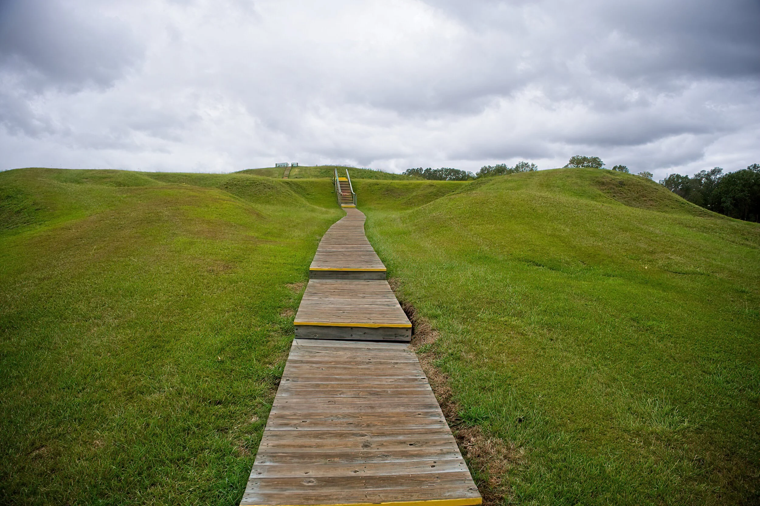
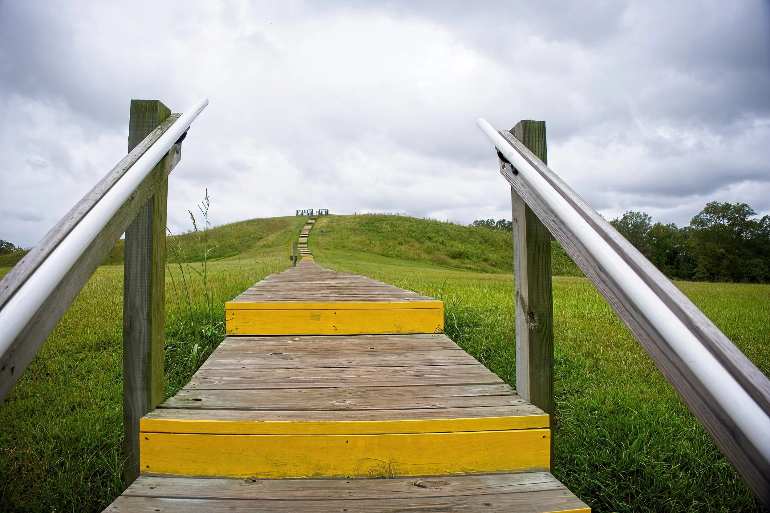
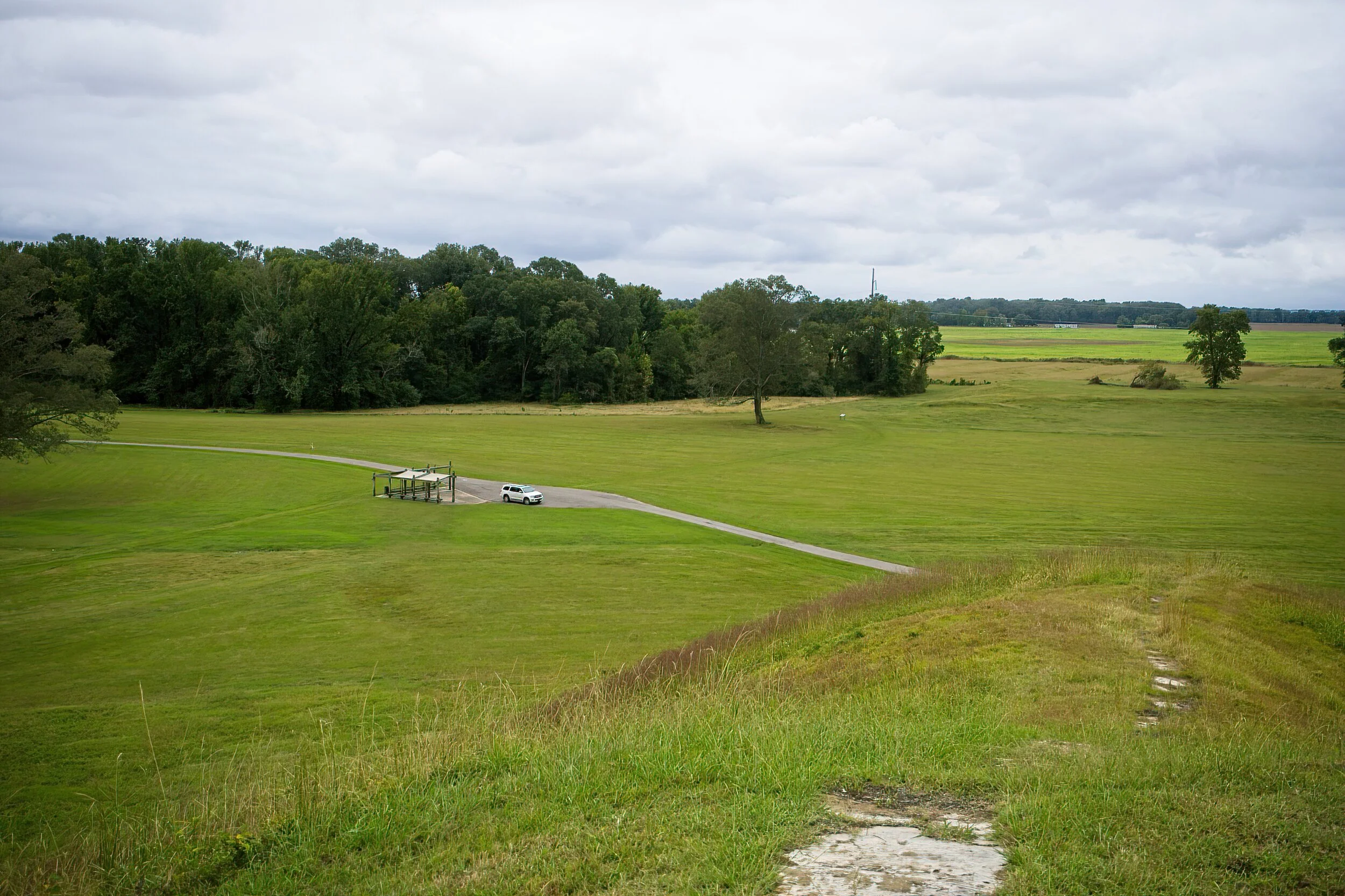
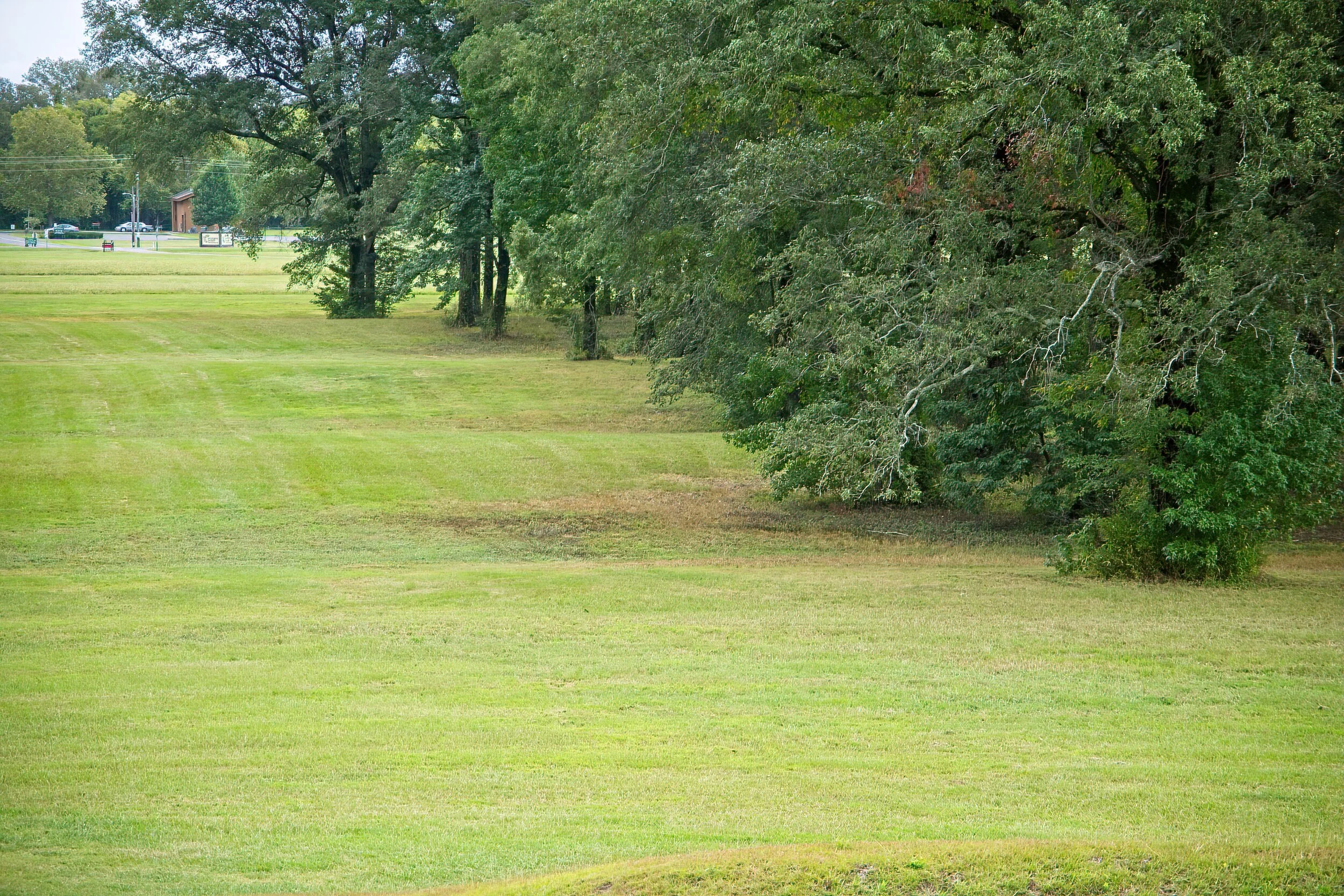
We have visited several NPS units that are focused on mounds but this was the most unique. Poverty Point is located in a remote, rural part of Northeastern Louisiana not too far from Vicksburg, MS. The park consists of several mounds dating from about 2000 BC, some quite large and some configured in concentric “C” shapes with the open end facing the largest mound. This park’s Visitor Center was open - it included an interesting but small museum. There are trails here across both open and wooded land. The Park Service constructed steps to the top of the large mound; from there you can see many of the mounds and the stadium-like area where the “C” mounds were constructed. It took tens of thousands of baskets of rock and soil to build these earthen platforms, and no studies have completely verified their purpose. The large mound had a secondary flat space that they believe was used for sport. We also did a five mile driving tour through the park.

We camped in Poverty Point Reservoir State Park a few miles south of the park. We also visited the Chennault Aviation and Military Museum in Monroe, LA. Many of General Chennault’s personal items were on display, and several aircraft were being restored at an adjacent facility.

Cadillac’s Viewpoint: I did look good standing on top of the tall mound where, if I were king, I could look at my subjects. But I have not found out how to run for king …yet. Cadillac’s Elevation 1.5 Antlers

Walkway to the top of the largest mound

Walkway to the top of the largest mound

Poverty PY 2DSCF2552-SAI-softness.jpeg
View from the top. There are several smaller mounds around the property

View from the top. There are several smaller mounds around the property

The “C” shaped mounds, a partial view

The “C” shaped mounds, a partial view

President William Jefferson Clinton Birthplace Home National Historic Site by Dave Hileman

I am unsure of where to start on this park, so I will begin with a confession: I did not like President Clinton’s policies and later was appalled at his disgraceful conduct in the Oval Office. That is my bias at this park site. However, he was one of this nation’s presidents, so it is appropriate for the park service to preserve a site related to his family history. He lived here in his grandparents’ house for less than four years while his mother finished nursing school. After she remarried, they moved to Hot Springs where he lived for 15 years until leaving for Georgetown.

The park is a small city block with the home and a smaller house next door that serves as a VC where the exhibit consists of 8 banners about people from the area who influenced President Clinton’s early life. The house was closed because of Covid so our experience there was very limited. A four lane city street a few feet in front of the house and railroad tracks beside it reduced parking to a few spaces on the side street in front of the VC. Tough with the trailer. This site could develop as an interesting place over time but it is not there yet. And a bit of the effort to make it seem so is kinda overblown like the statement that this is where he developed his “broad views on race relations, social justice, and public service that defined his presidency” Not likely at 3 and a half. However, “The Man from Hope” was a good campaign slogan. He did achieve his ambition rising from these humble beginnings.
Cadillac’s Viewpoint: Sorry, I was still reading the name of the park when they finished. Cadillac’s Elevation 0 Antlers

Hope ak 2DSCF3099.jpg

Glacier Bay National Park by Dave Hileman

Glacier Bay National Park

There are days of long-planned travel to places that slightly disappoint, and there are others where the grandest expectations are exceeded by reality. Flying over Glacier Bay National Park is definitely the latter. What a magical afternoon!

We drove toward Skagway from the Yukon and entered Alaska for the first time headed for the Klondike Gold Rush National Historical Park. Our original plan was to see Glacier Bay on a flight from Haines, AK with Mountain Flying Service. However, we found their booking office in Skagway and were offered the flight at the same reduced price as going from Haines. It was a gorgeous crystal clear day, and we made the great choice to go ahead.

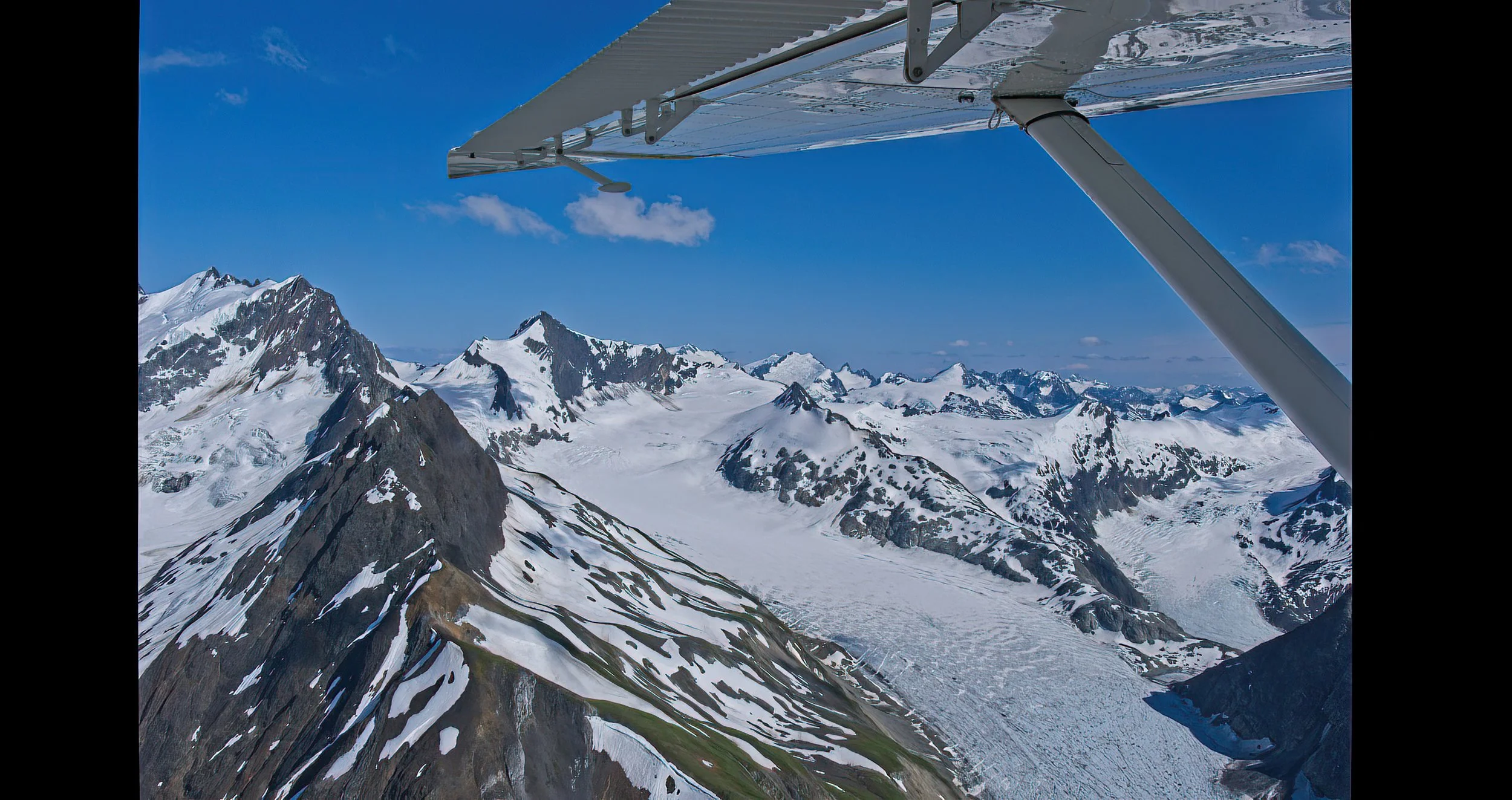
The plane, a DHC-2 Beaver, was very cool and meticulously maintained by the company owner/ pilot, Paul, who has been doing this for years. We joined a family of four from France for the last flight of the day which was extended 30 minutes because of the beautiful weather, a total of 3 hours with 75 minutes over Glacier Bay Park.

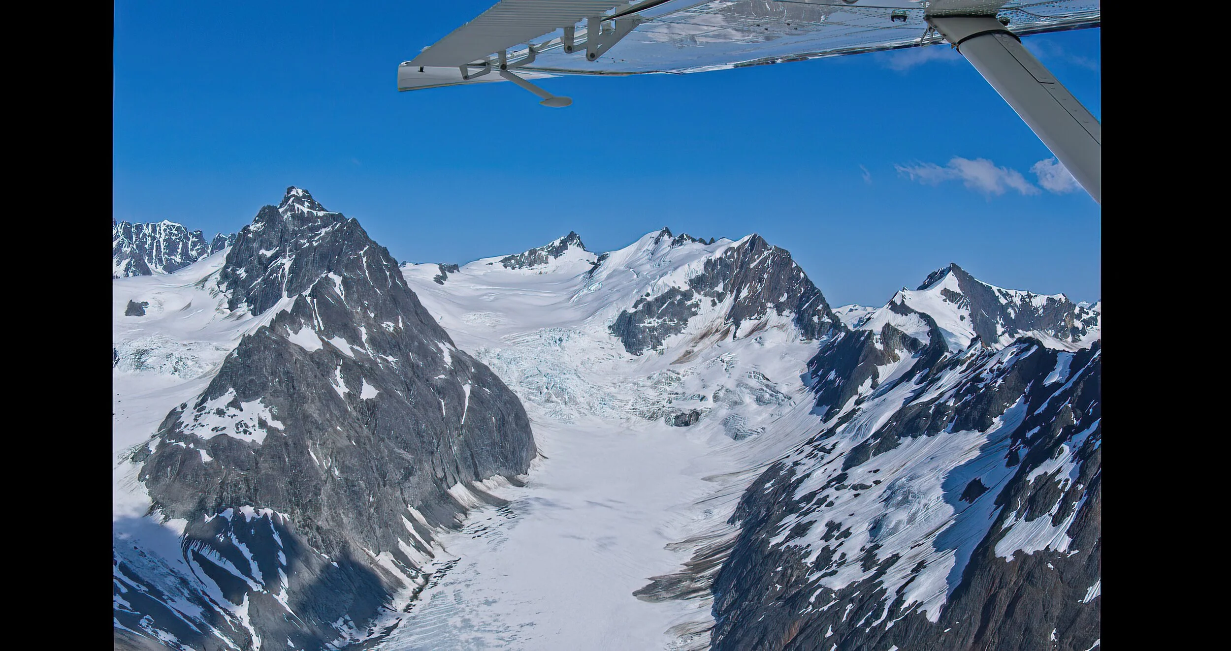
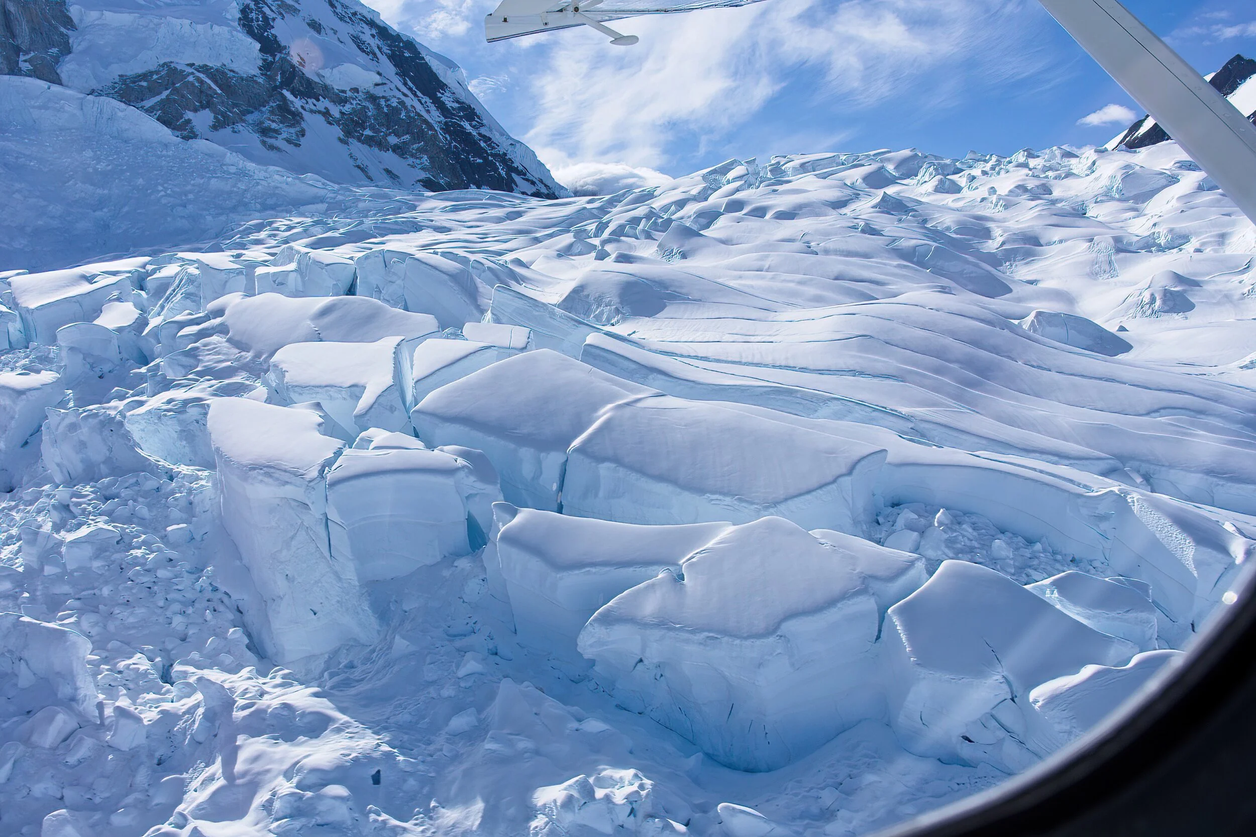
The views were amazing: ice and snow stretching for miles, mountains on every horizon, and occasional glimpses of the Pacific Ocean, bays and lakes glistening in shades of green and blue. The plane dipped into small valleys and banked against high, snow covered cliffs. Enthralling and magnificent!

There are basically three ways to see Glacier Bay Park: On a cruise liner, (my last choice), on a National Park boat day trip from a tiny town on the edge of the park reached by a flight from Juneau (about equal in expense with the flight we took), or the small plane “flight-seeing.”

When we landed, we found Skagway almost empty as most of the tourists had departed for the cruise ships. We enjoyed dinner at Skagway Brewing Company before the two hour drive back to our campground in Whitehorse, Yukon on the scenic Klondike Highway. Passing through customs both directions was easy. A stunning day with many hours of daylight and a highlight of our Alaska trip.

TLT Evaluation - Glacier Bay National Park - Breathtaking 5/5,

Cadillac’s Viewpoint: What is not to like. I am such a skillful aviator - the day was perfect. Cadillac’s Elevation 5 Antlers

Glacier Bay 8DSCF2524.jpg
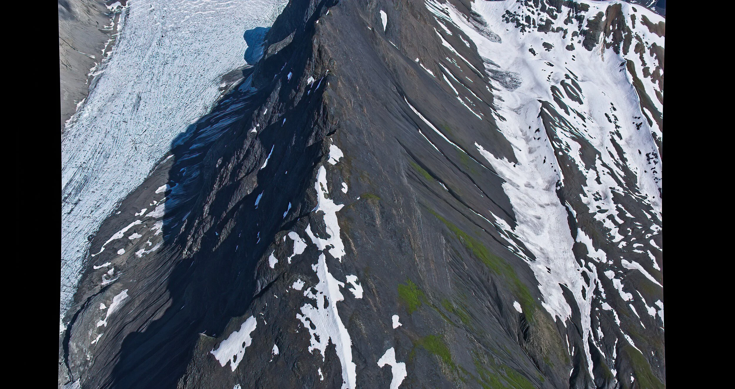
Up top and up close

Up top and up close

A dramatic glacial river

A dramatic glacial river

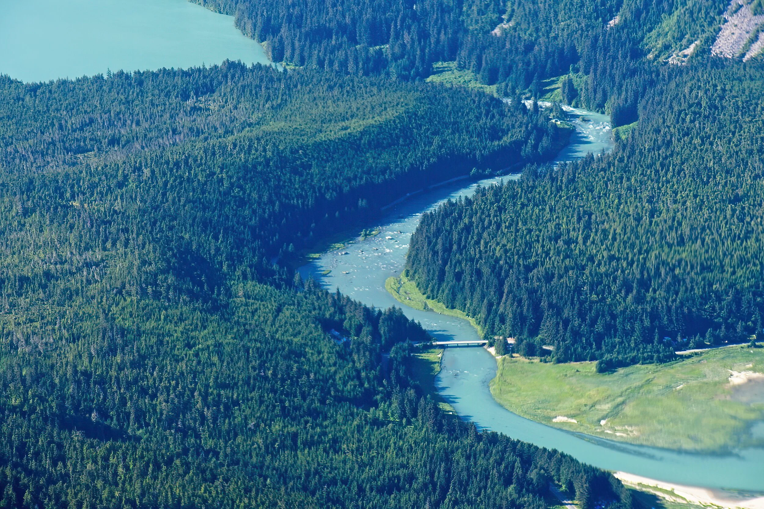
We dipped low over this area and on that bridge in three days I would photograph eagles and a bear a bit to the right of the photo

We dipped low over this area and on that bridge in three days I would photograph eagles and a bear a bit to the right of the photo

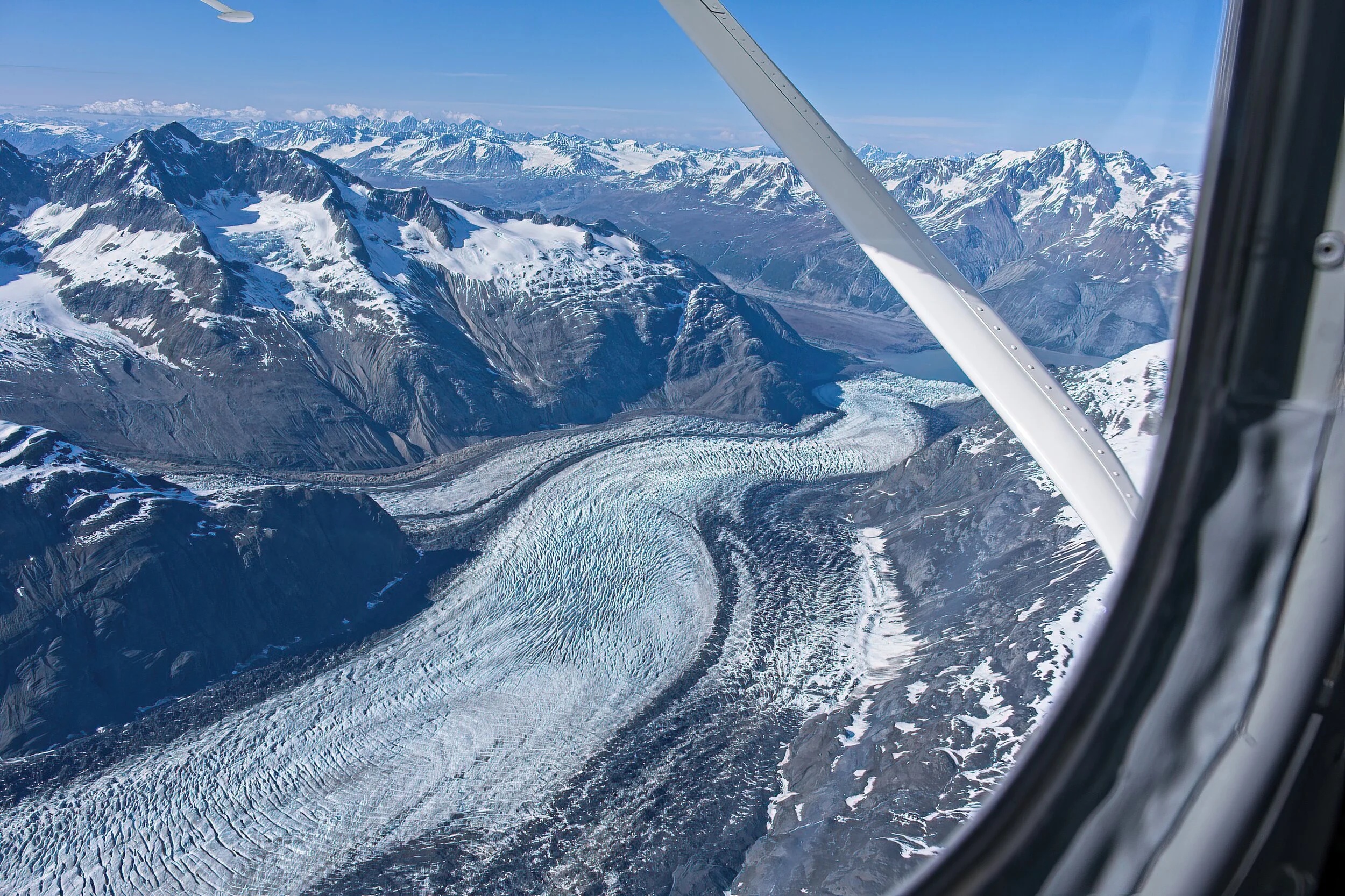
Two glacial “rivers’ merge at the dark stripe

Two glacial “rivers’ merge at the dark stripe

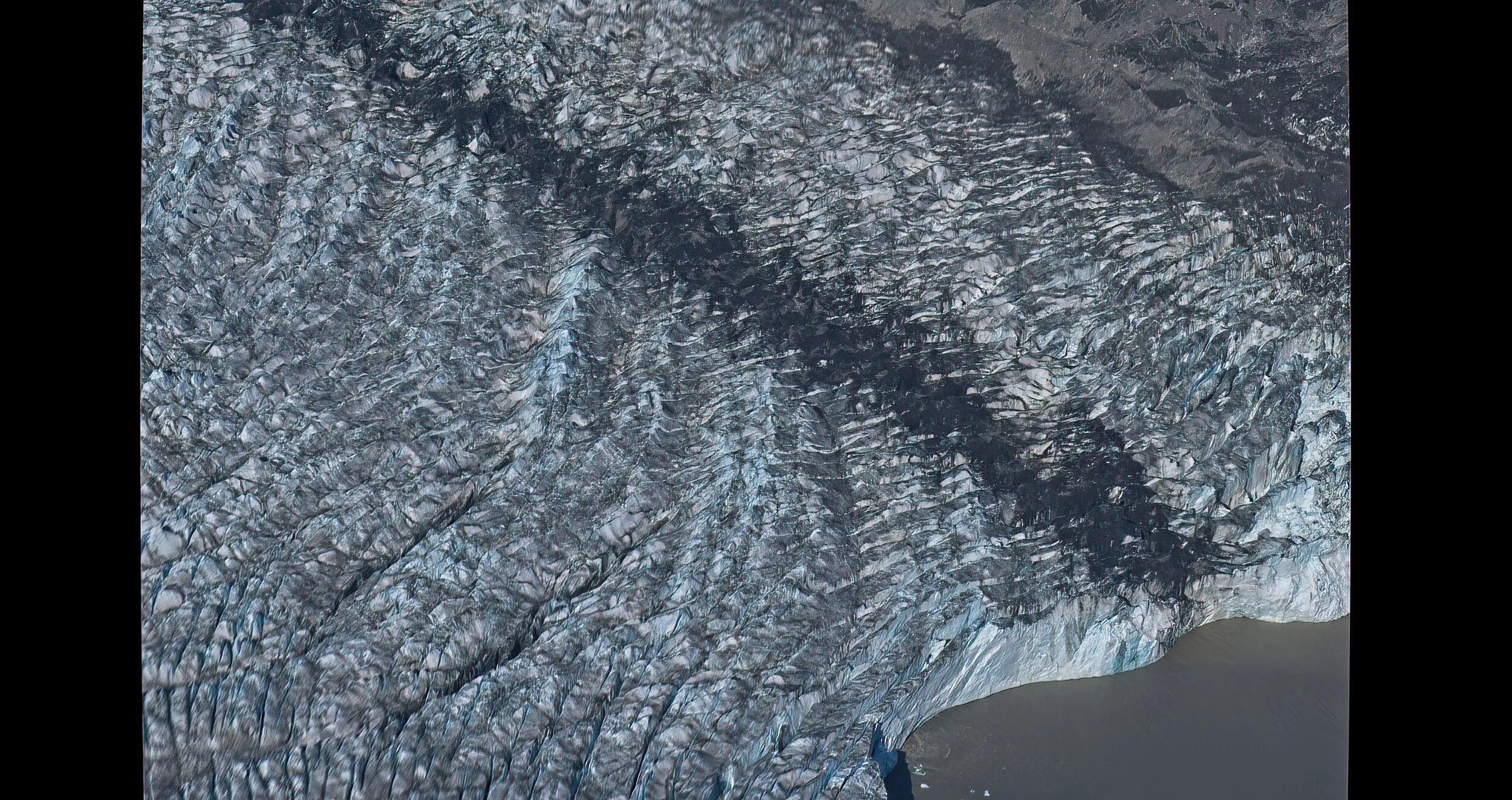
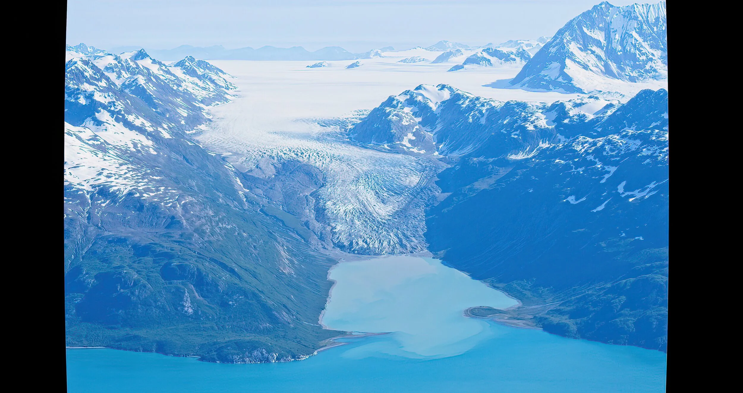
This glacier ends on land so just melting ice seeps into this bay

This glacier ends on land so just melting ice seeps into this bay

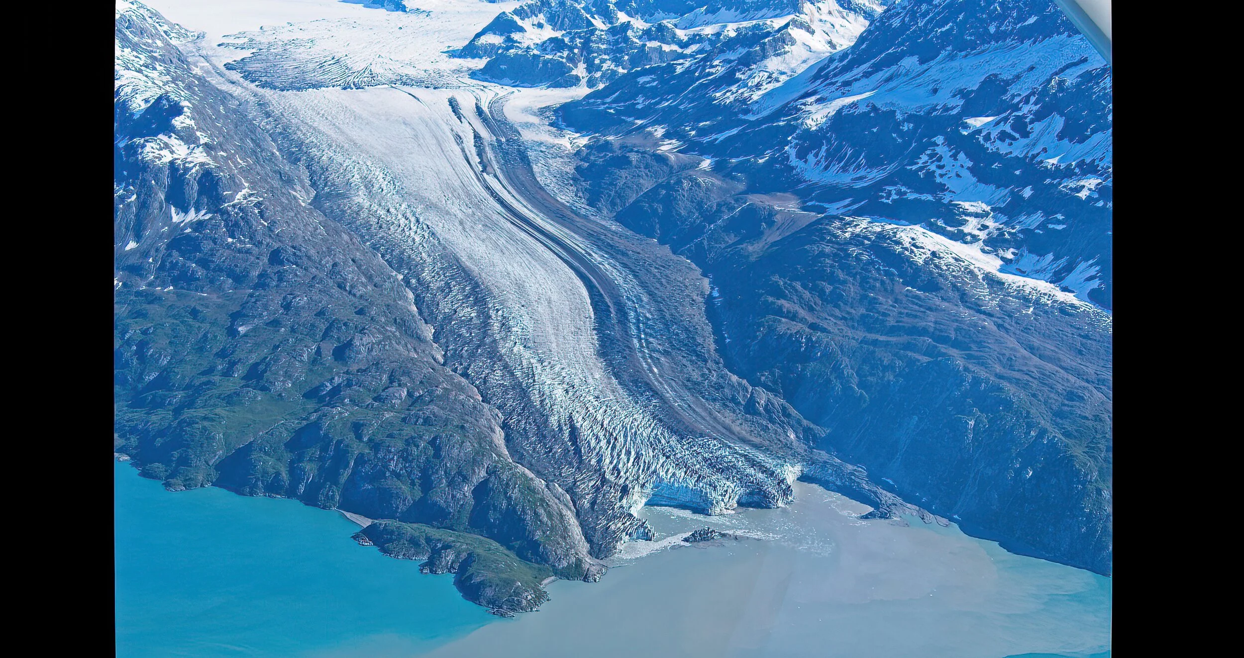
This glacier ends in the water so the edges calve - they are 200 to 300 feet high and note the water color change.

This glacier ends in the water so the edges calve - they are 200 to 300 feet high and note the water color change.

Arkansas Post National Memorial by Dave Hileman

The confluence of the Arkansas and the Mississippi Rivers in eastern Arkansas was a gathering place for native Americans for generations. In the early 1700’s, Spain laid claim to this area and established a small fort. There was a brief battle here between the Spanish and the English during the Revolution. After the sale to the US in the Louisiana Purchase, settlers begin to move into the area. The Arkansas Post became the capital of the territory, and the town grew to nearly 1000 people. No buildings remain but you can walk a staked path that shows where structures would have been. The Confederates built an extensive earthen works fort here but it was surrendered to the Union troops. Few people lived here after the war, and a change in the river’s course hastened the end when steamships could no longer dock.

The Arkansas Post has a VC (closed for Covid), three miles of trails, lots of wetlands, and a few remnants of the Confederate earthen works.

There is also a state historic park of the same name with a few reconstructed buildings and a log cabin built for a caretaker in the National Park in 1931 that has been moved to the state site.

We stayed near here at Pemberton Park Corps of Engineers campground right on the Arkansas River.

Cadillac’s Viewpoint: Nice, placid wetlands and lovely plants to enjoy for a snack. Zero coffee, zero ice cream and zero food for miles in any direction. Cadillac’s Elevation 1 Antler

Arkansas Post 3DSCF2627-SAI-softness.jpeg
Arkansas Post 2DSCF2624-SAI-softness.jpeg
Arkansas Post State 1DSCF2588-SAI-softness.jpeg
Arkansas Post State 2a areaDSCF2667 copy-SAI-softness.jpeg

Cane River Creole National Historical Park by Dave Hileman

We visited two NP historic plantations whose land grants predate the US. They were farmed for nearly 300 years before being given intact to the Park Service. We were not permitted in the houses because of Covid but many of the buildings and all the grounds were open at both Oakland Plantation and Magnolia Plantation. Very intriguing places with fascinating intertwined histories.

We toured the reconstructed Fort St. John Baptist with their well done museum in Natchitoches and did a walking tour of the town. Some of the “down river” private sites were not open but we still enjoyed the scenery along the Longleaf Scenic Byway and St. Augustine Catholic Church was well worth the stop.

The night before we arrived at the Cane River Creole National Historical Park was spent at a remote blueberry farm - a Harvest Host site. We arrived at Natchitoches, LA from a tiny country road that merged onto the main street along the river into a wonderful little town. Their history predated New Orleans with fabulous architecture, the French fort, the house where Steel Magnolias was filmed, and the oldest hardware store in LA - still in the original building. We camped at Pecan Orchard RV park.

We had coffee at the Story Time Cafe in town, a very good dinner at the Cane River Commissary close to the plantations and, to top things off, there was a car show in town by the river. A very nice town in a beautiful area with so much more to see. Hope we get back some day.

Cadillac’s Viewpoint: The Cane River was great, good food, good coffee, good ice cream, fancy cars and, of course, we left after two days. The Driver will never win reelection at this rate. Wait that’s a good thing! Cadillac’s Elevation 4.5 Antlers

Main house at Oakland Plantation

Main house at Oakland Plantation

The Commissary (general store) at Oaklands

The Commissary (general store) at Oaklands

Typical high roof open shed

Typical high roof open shed

The overseer’s house at Magnolia Plantation, later a tenant farmer’s home until the 1970s

The overseer’s house at Magnolia Plantation, later a tenant farmer’s home until the 1970s

Enslaved person’s home at Magnolia

Enslaved person’s home at Magnolia

Natchez National Historic Park by Dave Hileman

A Natchez resident replied to our compliments on her beautiful city:  “That is what happens if you surrender instead of fighting like Vicksburg did - you preserve your history.” The difference between the two towns is striking. Only about 75 miles apart, both on the banks of the Mississippi River, Vicksburg appears to not yet be fully recovered from the Civil War, while Natchez is quite attractive and seems prosperous. 

The National Park consists of six sections: Forks of the Road, Fort Rosalie, Melrose, the William Johnson House, the Natchez Visitor Center, and the preservation district. We toured the grounds at Melrose, an 1840’s plantation home. 2020 protocols closed most of the indoor sites including the Johnson House and Forks of the Road. The main VC was partially open. By the time we arrived at Fort Rosalie, walking the grounds was out due to very heavy rain.

his was our second visit to Natchez but the first to the National Park sites. We did explore a beautiful & historic private home, Rosalie, near the fort of the same name. Well done. There are 8 National Register of Historic Places districts and 13 national historic landmarks inside the city. We look forward to seeing them when indoor touring is available.

We camped at a Boondocker Welcome site a bit north of Jackson, MS, right along the Natchez Trace.

Cadillac’s Viewpoint: Big plus is being right on a river and the houses had appropriate ceilings for my lovely antlers but no stops for lattes or ice cream. Cadillac’s Elevation 3.5 Antlers

Natchez 2DSCF2382-SAI-softness.jpeg
Natchez 3DSCF2409-SAI-softness.jpeg
William Johnston House

William Johnston House

The fort grounds

The fort grounds

Mighty by Dave Hileman

This is one of dozens of waterfalls in Western NC - Southeastern TN and Northeastern Al and Northwestern GA that draw people to the area. One of the beautiful regions that we never tire of visiting.

“So humble yourselves under the mighty power of God, and at the right time he will lift you up in honor.”

1 Peter 5:6 NLT

NC Waterfall 2DSCF4520.jpg

Towering by Dave Hileman

This is a view of the Eastern slope of the Sierra Nevada Mountain range as seen from the Alabama Hills. I was able to walk about 1/2 mile in the area that felt so wild. Loved this shot.

AL Hills 2DSCF1877-SAI-softness.jpeg

Russell Cave National Monument  by Dave Hileman

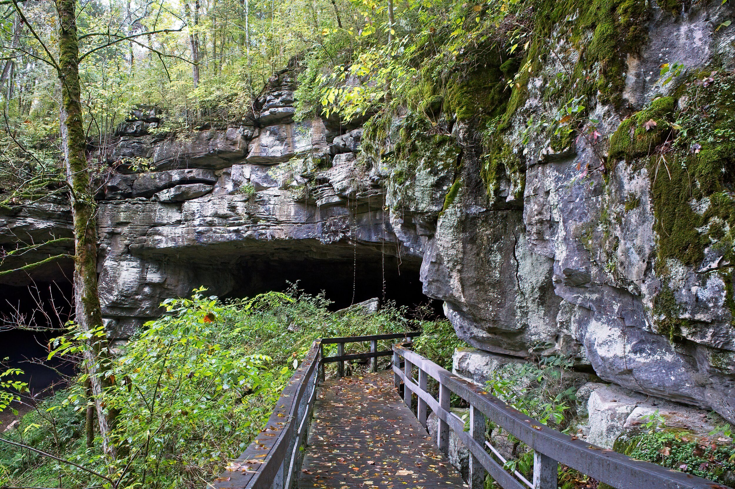
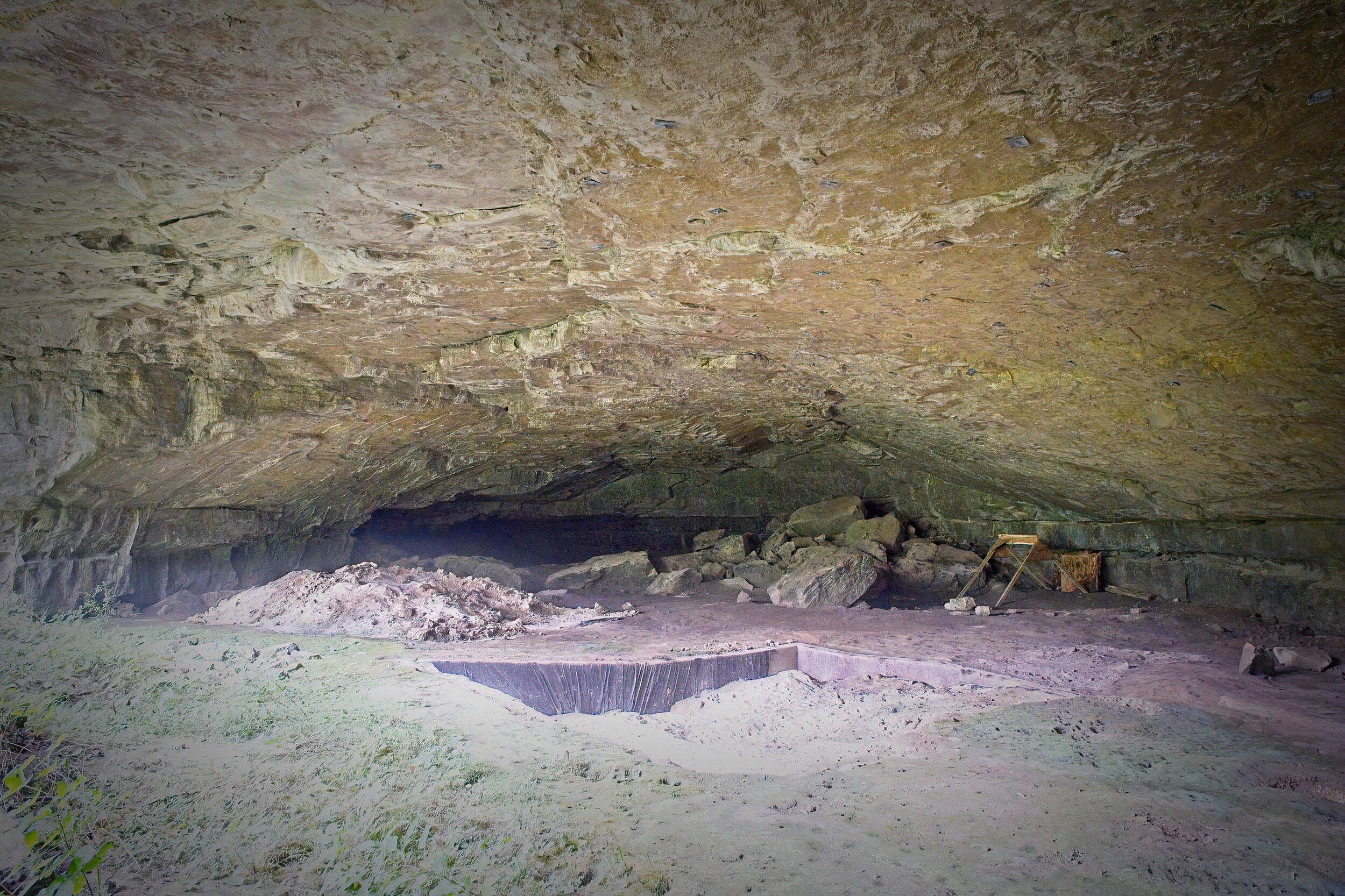
In the Southeast United States, this cave holds the oldest record of occupation by cultures of prehistoric Indians beginning about 10,000 years ago. The very large mouth of the cave led to smaller chambers and then on to over 7 miles of passages. The cave provided substantial shelter, particularly in the winter, and the mile of stream inside the cave provided year round water. The abundant nuts, berries and wildlife sustained the 30 or so families who made this their home. Digs were done here in the 1950’s when the scope of the importance of this site was recognized. Several of the objects recovered are in the small but well done museum in the Visitor Center. 

The cave is located in Northeastern Alabama almost on the Tennessee line. 

This was a short visit as heavy rain kept us off the single mile and a half trail. We did walk the nature trail and the path to the cave entrance. Guests are no longer permitted inside the cave nor is spelunking allowed. We were camping about 35 miles away in DeSoto State Park so this was a good half day trip. On a pretty day there is a nice picnic spot. 

Cadillac’s Viewpoint: This has Moose potential but I don’t like caves. There is simply no place for magnificent antlers such as mine. Cadillac’s Elevation 1 Antler

Al Cave 1DSCF4282-SAI-softness.jpeg
Al Cave 2DSCF4284-SAI-softness.jpeg